Not so long ago, satellite images were available only to the government agencies and their analysts. Now, there are known sources for free and open source access to full satellite data. We also see a lot of private enterprises having interest in satellites for the following reasons:
1. Satellite & launch costs are decreasing
The infographic below shows the estimated cost comparisons in the context of recent SpaceX launch

2. Small launches are relatively much cheaper
3. The huge data infrastructure and bandwidth costs have gone down
4. The pervasion of image analytics based AI, reducing the entry barrier for data scientists & researchers
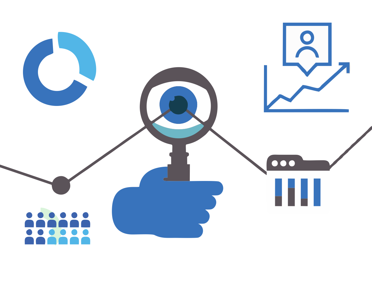
The above trends mean we have started seeing some out of the box use of satellite images to generate insights for businesses.
We list out some use cases for analytics/insights using satellite images:
a. Environmental Applications
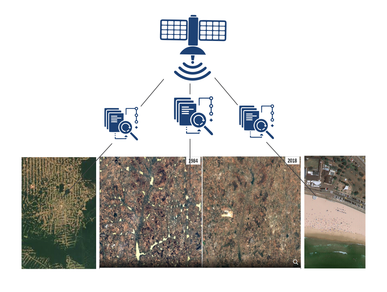
1. Monitoring forest cover: Longitudinal data for a forest or reserved forest allows tracking of increase or decrease in forest cover, effects of urbanization and any illegal deforestation being carried out. It allows governments and green activists to raise awareness about issues that affect all of us

2. Water Scarcity Monitoring: Water is the most valuable natural resource. Less than 1% of water is available for drinking. With satellite images, we can now understand the processes driving the water cycle and the impact urbanization and climate change are having on the availability (rather, dwindling) of freshwater water sources across the globe.

b. Economic activity estimations
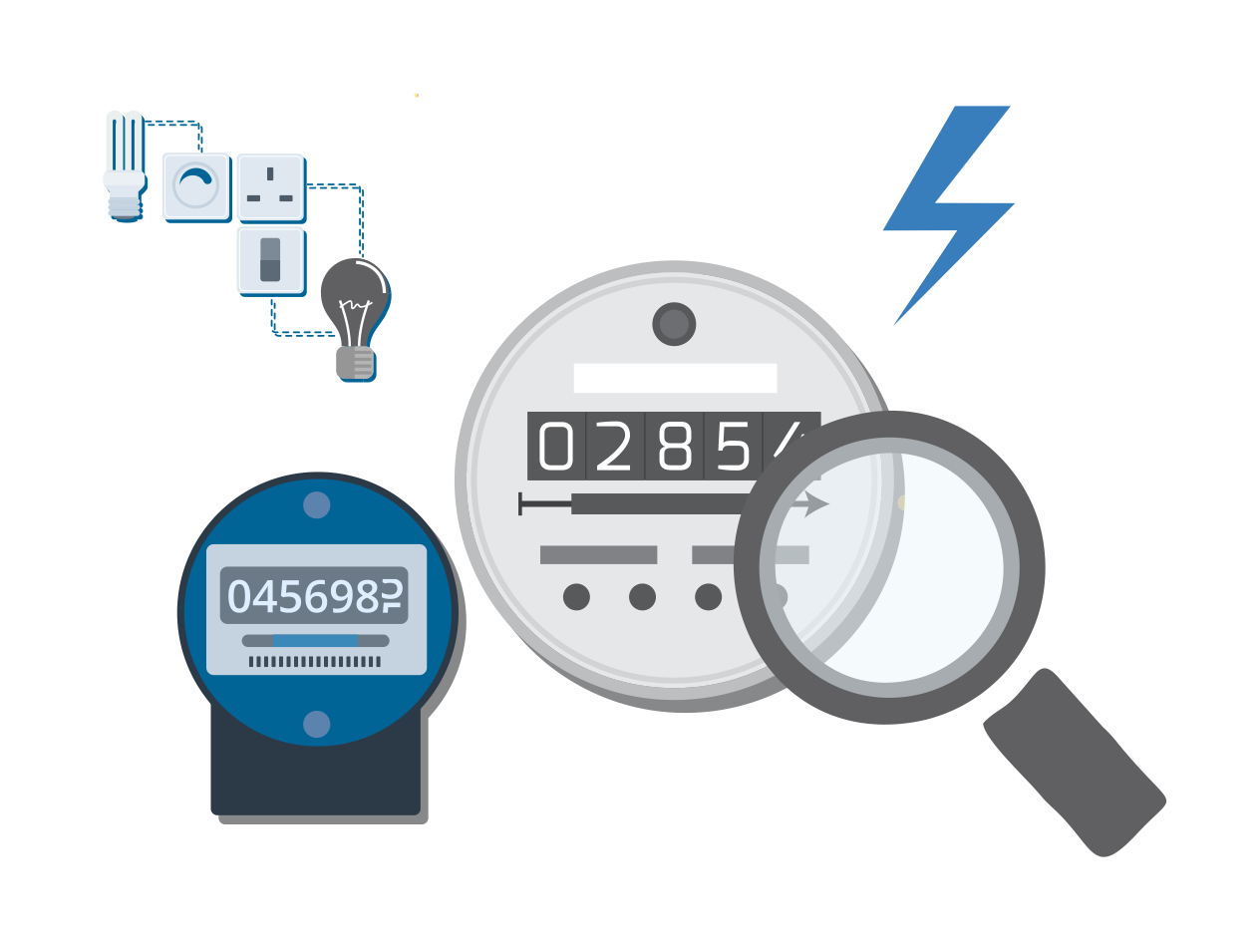
Economic activity indicators are key to economic planning, investment decisions and knowing the growth prospects of one (economic) zone over the other. Night time illumination data, extracted from satellite imagery can provide access to this information in near real-time, rather than wait for the governments (and provincial agencies) to release those numbers at an aggregated level for a month or quarter, that too with a lag of upto six months.

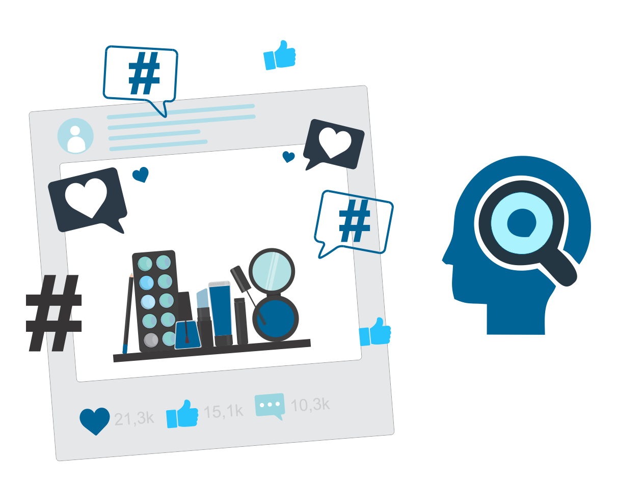
c. Estimate retailers’ sales
Using geospatial data, satellite images for a specific retail store (or a group of retail stores e.g. All Target stores) can be extracted and the traffic (vehicular as well as human) can be estimated using object detection algorithms. The use of satellite images to monitor own store performance as well that of competitor’s hands a competitive advantage to the decision makers who can think out of the box.

d. Monitoring Port Activities
Ports and coastlines can be monitored to establish the baseline for the activities and measuring spike/reduction in traffic using satellite images. Given the proportion of trade between countries carried out through the seas, it becomes critical for businesses across sectors and organizations. This data can also be used for re-development of ports and associated facilities.
e. Cultivated area monitoring
Satellite images taken over farms allows businesses to estimate the area under cultivation for different crops. Depending on the business focus, this data can be used to estimate the expected yield for each crop, adverse weather conditions and timely alerts to mitigate risks, demand for seeds, pesticides etc. and supply chain planning. Satellite image analysis can help quantify uncertainty and manage food security more efficiently.
If you have business problem that requires satellite data or the solution can be made more efficient using satellite data as an alternate data source, please drop us a note. We can help you with the right open source to get the images from, recommend the spectral layer to look at and execute the analysis.
Xtage Labs is an advanced analytics and machine learning based decision insights company. We work with businesses to derive insights from data, and improve the decision making processes.
Get in touch with us to find out what we can do for you.